AI+ Remote Sensing
Applying Deep Learning to Image Enhancement, Analytics, and its Business
Abstract
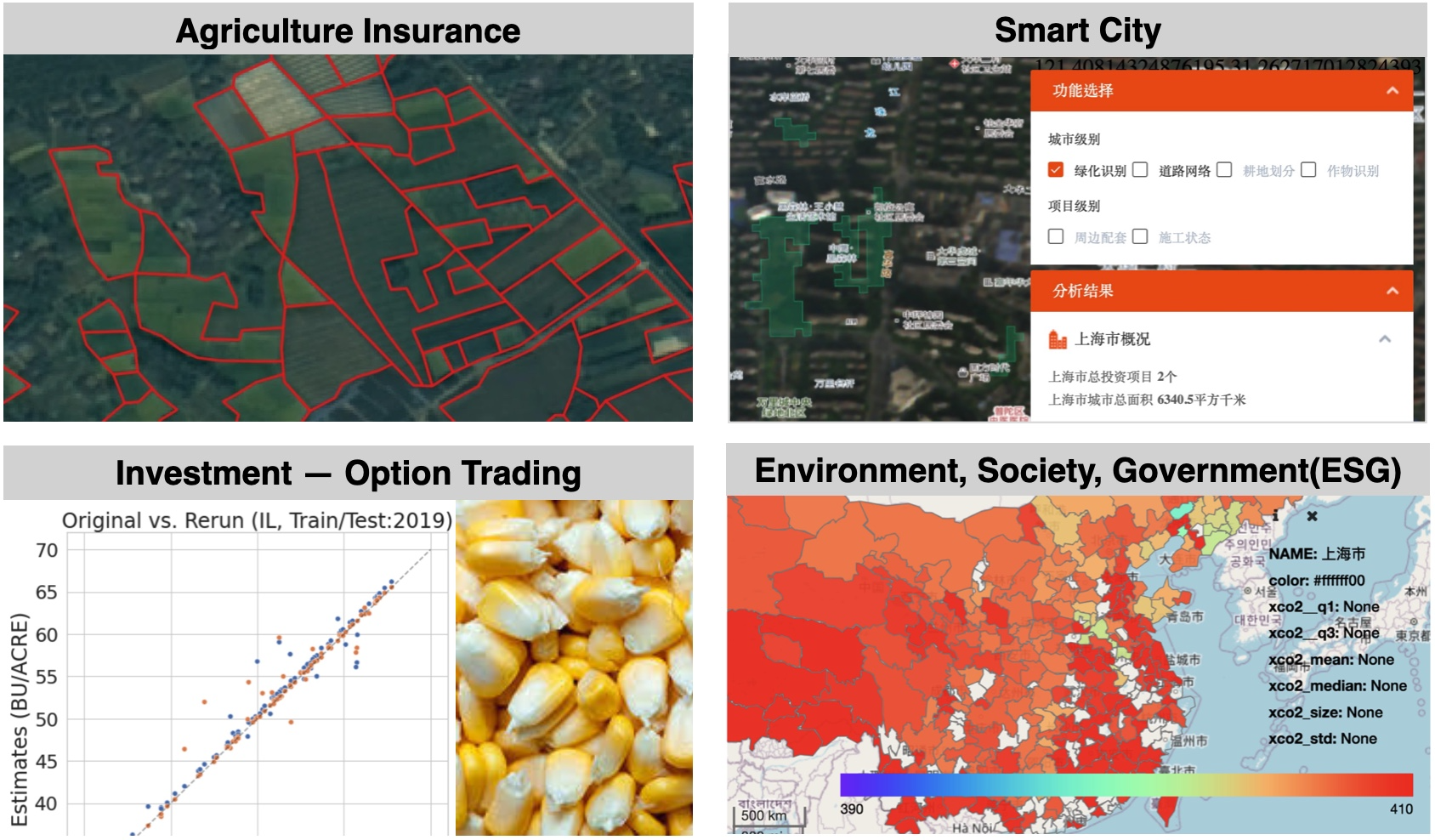
In this talk, we introduce our proposed AI+ Remote Sensing techniques from the Research Lab of Ping An Technology. One of the techniques is our deep learning haze removal model which can effectively remove the interference of haze in the satellite images and observe the true ground reflectance. Next, we introduce our super-resolution model which can enhance 4x image details. The SR model has been deployed to the Sentinel-2 satellite imagery and greatly improve its image quality. Last, we introduce our crop recognition system. The system includes a user interface for a user to label a few of training samples, and the proposed crop recognition model can be trained on the fly to be deployed on a broad geo-area immediately. In addition to the techniques, our AI+ Remote Sensing technologies have been supporting the carbon(CO2) emission analysis for Environment, Society, and Government(ESG) Department, flooding and disaster analysis for Smart City Department, and crop field forecast for Investment Department in Ping An Group.
Keynote Speech
Our Keynote Speech in DigitalWorld Congress 2021.
If you cannot see the video below, click the link https://www.youtube.com/embed/FdUyaUJTYLY
GeoInsider第68期 賴瑞欣 AI+遙感的技術創新與商業應用
If you cannot see the video below, click the link https://www.youtube.com/watch?v=0MpCz-CeiGA